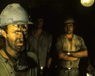
Geologists find buried mineral deposits by mapping anomalies, the small departures of the rock from its expected magnetic, gravity, seismic, or chemical values. A magnetic ore like magnetite distorts the local magnetic field, while a dense or low-density body shifts the gravity reading. Surveys flag these spots, then drilling confirms whether an economic deposit lies below.
There is a need to identify and exploit the mineral strength of a nation to run certain parts of its economy. From precious metals to natural gas and petroleum, geologists are always on the lookout for new ore reserves (ores are substances found in nature that are used to extract minerals with commercial worth).
The process of looking for mining reserves is called exploration.
To determine if a deposit can be economically recovered, information obtained during exploration is applied to determine the location, size, and nature of the deposit. Exploration is initially conducted over a broad region. It then becomes more targeted as more promising resources are found.
Finding and defining an ore deposit that may be mined requires months or even years of exploration and several different procedures. Only about one in 1,000 promising prospects ever ends up as a working mine. Most prospecting initiatives don’t yield any results.
What Is The Basis Of Exploration Activities?
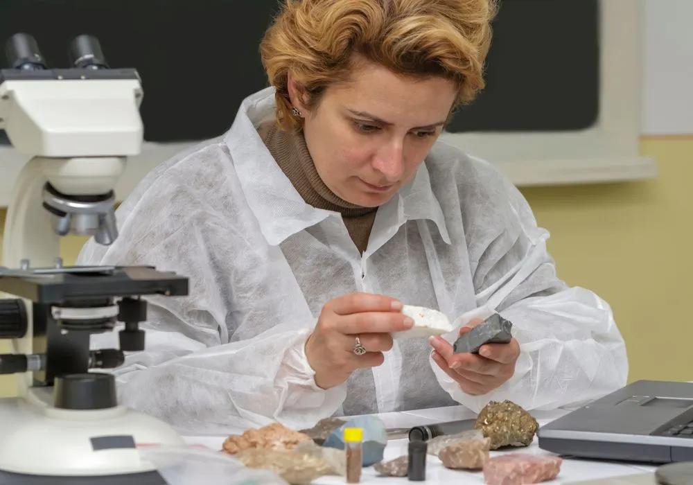
It all starts in a lab. Here, data on the physical and chemical properties of the bedrock is studied to look for a suitable site for a particular type of mineral. Different forms of rock concentrate various metals. When a corporation is hunting for gold deposits, it hunts for rocks that are suitable for gold deposits.
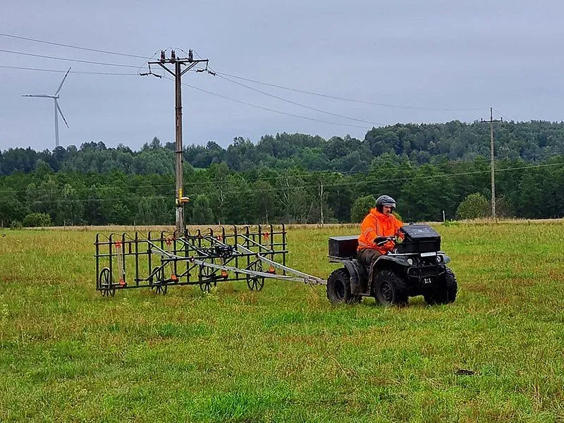
Geologists then do field research by walking the region and hammering tiny fragments of rock from rock surfaces. A low-flying plane or ground crew carrying measuring equipment can take geophysical measurements.
Exploration surveys use different tools to measure the physical characteristics of the Earth. Imagine a uniform planet with no variations in geological properties. The measured value of gravity, magnetic field or seismic field would be constant, like their theoretical values (the hypothetical value expected from an equation under ideal circumstances).
However, when an ore body exists deep in the earth, its properties disturb the surrounding field and produce differences in the measured value.
For example, the presence of a magnetic ore, such as magnetite, would disturb the Earth’s magnetic field and produce variations in the measured value of a magnetic field from what should have been if the ore was not present. This variation in the measured value from what was expected is called an ‘anomaly’. Geologists look for anomalies to detect suitable ore bodies for mining efforts.
In 1844, a Michigan government survey crew led by William Austin Burt noticed their compass needles swinging wildly near present-day Negaunee. That magnetic anomaly led them to the Marquette Iron Range, which geologists refer to as the Negaunee Iron Formation. It went on to become one of the country’s most successful iron-producing regions. The area’s magnetite and hematite ore were so plentiful and accessible that pieces could be taken right off the surface and delivered straight to steel plants with little processing. It attracted a number of enterprises in a short period of time to start mines and export the valuable material.
How Are Magnets And Gravity Employed In Exploration?
Magnetic surveys track anomalies in the Earth’s magnetic field. Various factors, such as the rotation of the Earth or solar radiation, can impact the magnetic field of the earth. However, geologists are able to pinpoint slight changes caused by mineral deposits. They do this by eliminating all external influences from a reading. This method is employed in the search for metallic minerals.
Although gravity appears to be the same everywhere, it keeps changing, depending on the location. These variations are because the Earth’s crust is not homogeneous. Geologists measure such changes to predict low- or high-density ore bodies. Diamonds are often located using gravity surveys, because they are typically found in distinctive kimberlite pipes. Where these pipes intrude older, harder basement rock (the usual diamond-bearing setting), the kimberlite is less dense than its surroundings, so it shows up as a small dip, or low, in the local gravity reading. The exact sign of the anomaly depends on the host rock, but either way the density contrast is what the survey detects.
What Are Some Other Common Survey Methods?
Airborne and ground-based survey methods also consist of seismic, electrical, radiometric or electromagnetic surveys.
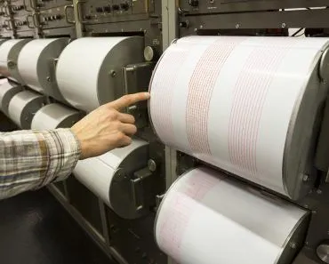
Unlike the magnetic or gravity method, a seismic survey is an aggressive approach. It employs a source to produce vibrations of high frequency that travel down the crust. To track the time in which these vibrations bounce back, tiny sensors, called geophones, are positioned at the surface. Their readings provide data on the composition of the rocks. This method is common in petroleum and coal prospecting.
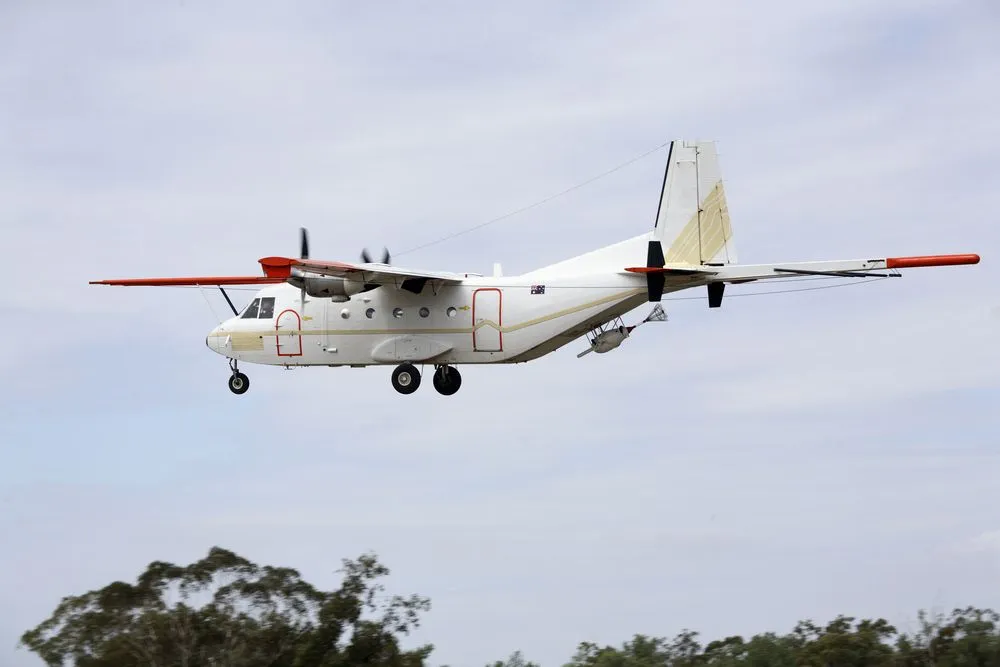
Another method involves the use of electromagnetic waves. This identifies the location of metallic minerals or the salinity of groundwater. In EM surveys, a magnetic field is generated, which is used to detect the 3-D conductivity variations in the soil and rock near the surface.
There are instances when geophysical methods are not enough, and there is a need for deeper investigations at targeted sites. Scientists then collect samples of soil, rock, or sediment taken during surveys and forward them to a lab for examination.
What Happens After A Potential Mineral Deposit Is Discovered?
The goal of mineral exploration is to determine whether the mineralization is present at levels that warrant commercial extraction. Once a site has been confirmed for a mineral deposit, it is checked and rechecked until the job of the geologist is complete.
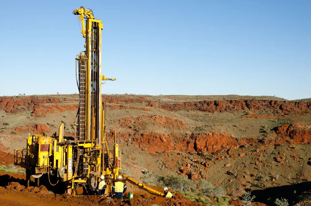
However, almost no projects develop into mines. There are various factors at play, like the fact that the discovery might be too tiny or of low quality. The costs could be too cheap, or obtaining a permit could be challenging. From first discovery to a producing mine, the journey averages roughly 15 to 18 years and can stretch beyond 30 in some countries… assuming that everything goes according to plan and that you are successful in finding a mineral deposit and obtaining all the necessary permissions!
References (click to expand)
- Understanding minerals exploration - Earth Resources. earthresources.vic.gov.au
- Overview of exploration in NSW. NSW Resources Regulator
- Chapter 1: An introduction to minerals, ore and exploration. Geological Survey of Sweden
- RFYRH Campbell. geophysical methods in exploration and. The United States Geological Survey