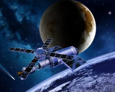
Direction and altitude do exist in space, but only relative to a chosen frame of reference. There is no absolute “up” or universal “north” in the cosmos; instead, gravity defines “down” toward the nearest large body, and the frame switches when you move from Earth’s pull into the Sun’s, and again as you leave the solar system. Spacecraft navigate by combining one of these frames with a fixed direction (often the Vernal Equinox) to define X, Y, and Z axes.
If you’ve ever watched a video of astronauts on the International Space Station, then you’ve witnessed how strange it looks to be weightless. They bounce off the walls, floating freely, with no concept of up or down, enjoying their enviable slow-motion adventure. You will often hear physicists and astronauts say that there is no “up or down” in space, but what does that really mean? Do the cardinal directions still apply? If you don’t have a down or up, can you really have a right and left? Or an east and west?
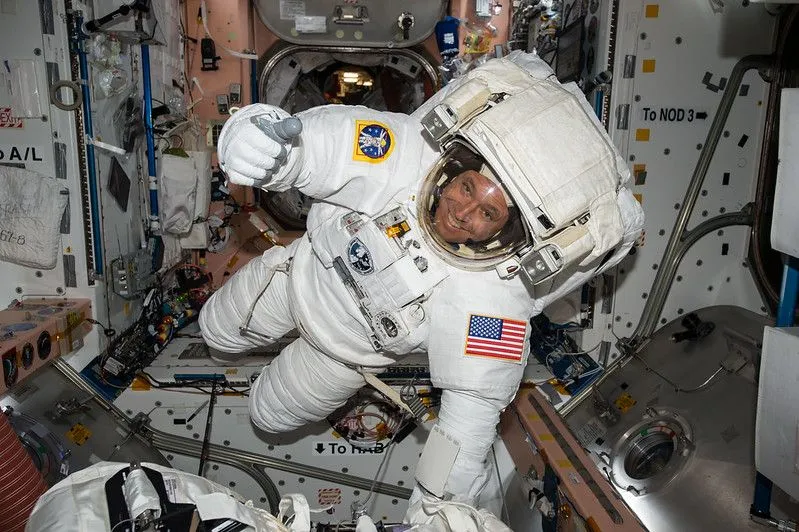
Just thinking about that lack of orientation makes my head spin, yet we manage to send satellites and shuttles worth billions of dollars across the solar system, years in advance, to perfectly meet up with a planet moving tens of thousands of miles per hour. Clearly, the experts have figured out astronomical navigation, but do the concepts of altitude and direction even exist out there?
Where Does Space Begin?
Altitude, cardinal directions and the concept of up and down certainly exist on Earth, so before we can understand whether they exist in space, we need to understand where “Earth” ends and “space” begins. While you may think that this is a simple distinction that the entire planet should agree on, that isn’t the case. International law states that “space” is free for use and exploration, and is not owned by any sovereign nation, similar to “international waters” on the planet. However, there is not an international law that clearly states where space begins.
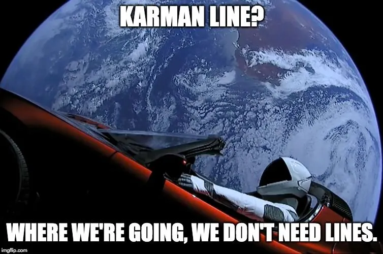
The Karman Line is an imaginary line 100 kilometers (62 miles) above sea level that is widely accepted as the boundary between Earth’s atmosphere and space. The Karman Line is often used as a measurement to determine whether spaceflight has been achieved. Some nations, including the United States, argue that space begins approximately 12 miles lower, at 50 miles above sea level. Scientists have studied the transition point between Earth’s relatively calm atmosphere and the strong solar winds of outer space, and argue that the line should be around 73 miles above Earth’s surface.
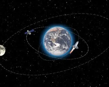
On Earth, we usually talk about altitude in terms of thousands of feet, as mountain climbers and frequent flyers know. Once we get into aeronautics and space travel, we use miles to measure our distance above Earth’s surface. The International Space Station, for example, orbits our planet at approximately 200-270 miles. The exosphere begins at around 440 miles, but there are also satellites orbiting Earth much further out. One of our planet’s most distant satellite is a Russian radio satellite with a high point in its orbit of around 330,000 kilometers from the surface of the Earth. Our beloved moon itself orbits the planet in a range of 363,000-405,000 kilometers above the planet. When the numbers get this high, “altitude” can just as easily be described as “distance”.
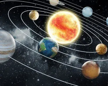
Now, Earth’s gravitational “sphere of influence” only extends about 1,000,000 kilometers in every direction, meaning that beyond that distance, the gravitational pull of the “primary” in the solar system (the Sun) would become dominant, and objects would begin falling towards the sun (or moving in a heliocentric orbit). At that point, the “altitude” would switch from distance above Earth’s surface to distance above the Sun’s surface. This gravity-based change in the frame of reference is important to understand for the other directions in outer space too!
All About Perspective
With our feet planted firmly on the ground, thanks to the force of gravity, we know that “down” is beneath our feet and “up” is above our heads. Using our own bodies’ perspective as a point of reference, we can then denote things as being to the left or right of other objects. Our general alignment with the planet’s poles provide us with reference points for concepts of north, south, east and west.
“Above” and “below” are subjective qualities that are made in relation to the observer, and while this works on Earth, the same thing can’t possible hold true in the weightless realm of space. Remember that everything in space is basically in free fall; that is precisely what an orbit is, and everything is orbiting something else. Astronauts and the ISS are in free fall around the Earth. They are falling as a result of gravity, but moving fast enough around the Earth, and with enough momentum, that they are falling away forever! The moon is doing the same thing in relation to our planet, Earth similarly orbits the sun, and the sun is doing the same thing with respect to the center of our galaxy . Our Milky Way galaxy is also behaving the same in relation to the center of our galactic cluster.
Directions In Space
What we were describing above are basically “frames of reference”, which are required to orient oneself with respect to other objects. While this is easy on Earth, it is more difficult in space, when gravity can’t define “down”. Depending on your perspective in space, “down” is simply towards the celestial body under whose gravitational influence you find yourself, and forward is the direction of your momentum. Fortunately, the use of “left” and “right” is based heavily on individual perspective, and is relative to the viewer, not gravity. More specific reference frames are required to orient oneself in an environment without gravity.
A common reference frame in use on the ISS, for example, is the +/- XYZ axis, to represent forward/back and up/down. At the center of the station, +X would denote something towards the “front” of the station, while +Z would indicate the direction towards Earth. However, similar to the way of discussing altitude in interplanetary space, these frames of reference will also change based on your location in the solar system. As a shuttle approaches Mars, for example, the coordinates and proximity must switch to a Martian reference frame, rather than one based on Earth.
As we move further from the inner planets, out of our solar system and neighborhood, the frames of reference continue to increase in scale, from orientation with respect to the sun all the way to orientation with respect to the barycenter (center of mass) of our entire galaxy!
Is There A North, South, East And West In Space?
Here's the twist: even though there is no universal "up", astronomers absolutely do use a north and south out there. The trick is an imaginary scaffold called the celestial sphere, a giant globe centered on Earth with an effectively infinite radius, onto which we paint the positions of every star. Earth's own poles and equator project straight outward onto this sphere as the north and south celestial poles and the celestial equator. In other words, the sky inherits its sense of north directly from the direction our planet's spin axis happens to point.

On that sphere, an object's address is given by two numbers that work just like latitude and longitude. Declination is the celestial version of latitude, running from +90° at the north celestial pole down to -90° at the south, with the celestial equator at 0°. Right ascension is the celestial version of longitude, measured eastward in hours rather than degrees (the sky turns 360° in 24 hours, so one hour of right ascension equals 15°), starting from the point where the Sun crosses the equator each spring, the vernal equinox.
So which star marks "north"? Polaris, the North Star, sits almost exactly where Earth's rotational axis points, hugging the north celestial pole. That is why it barely seems to move while every other star wheels around it through the night. But even this north is on loan. Earth's axis slowly wobbles like a spinning top over roughly 26,000 years, a motion called precession, so the title of pole star keeps changing. Around 14,000 years ago the bright star Vega held the job, and it will take over again in about 12,000 years. Zoom out further and astronomers define a whole second grid, the galactic coordinate system, whose north pole lies in the constellation Coma Berenices and whose equator traces the flat plane of the Milky Way, tilted about 63° to the celestial equator. North, in space, is simply whichever convention you have agreed to use.
How Do Spacecraft Figure Out Which Way They're Pointing?
Knowing your address on the celestial sphere is one thing, but a billion-dollar probe still has to know which way its cameras and thrusters are aimed, a property engineers call attitude. To manage this, modern spacecraft lock onto the same fixed star grid we just described. The formal version is the International Celestial Reference Frame (ICRF), the reference system adopted by the International Astronomical Union for high-precision astronomy, with its origin at the solar system's center of mass and its axes pinned to extremely distant cosmic landmarks.

The workhorse instrument is the star tracker, essentially a small digital camera that photographs the surrounding star field and compares the pattern to an onboard star catalog. By matching the stars it sees against the stars it expects, it can pin down the craft's three-axis orientation to within roughly 8 arcseconds, a tiny sliver of the width of the full Moon. Backing it up are Sun sensors, which measure the direction to the Sun in the spacecraft's own frame to about 0.1°, and gyroscopes, which track how fast the vehicle is turning and keep the orientation updated in the moments between star fixes.
A flight computer blends all of these readings into a single continuous answer. That is how a shuttle or probe defines its own "forward", "up" and "down" with no gravity to help: not from feeling, but from constantly cross-checking against the stars. It is the same logic behind the XYZ axes used on the ISS, simply scaled up to the entire sky.
A Final Word
For the most part, human forays into space remain close to home, with more than 15,000 active satellites in orbit as of 2026, and SpaceX’s Starlink alone now accounts for over 10,000 of them. The gravitational force of Earth is keeping them all in the frame of reference of Earth, both in terms of their distance from the surface and their direction/orientation. Outside our planet’s sphere of influence, the frame of reference must accordingly shift in relation to gravitational dominance or physical proximity. This will redefine the directions and orientation. In other words, the math of the universe is never changing, but the point of view is forever in flux!
References (click to expand)
- Why is there no up and down in space?. West Texas A&M University
- Dow, J. M., Neilan, R. E., & Rizos, C. (2009, February 19). The International GNSS Service in a changing landscape of Global Navigation Satellite Systems. Journal of Geodesy. Springer Science and Business Media LLC.
- Bertotti B.,& Farinella P. (1990). Physics of the Earth and the Solar System: Dynamics and Evolution, Space Navigation, Space-Time Structure. Springer Netherlands
- Basics of Space Flight, Chapter 2: Reference Systems. NASA Science
- What Is the North Star and How Do You Find It?. NASA Science
- Galactic coordinate. Encyclopaedia Britannica
- State of the Art of Small Spacecraft Technology: Guidance, Navigation, and Control. NASA